Precision from above. Intelligence for better decisions.
Professional drone inspections, aerial data, property documentation, and visual media designed to help you see more, understand more, and make better decisions.
Our Solutions
Precision aerial services across four core capabilities — each designed to deliver actionable results for your business.
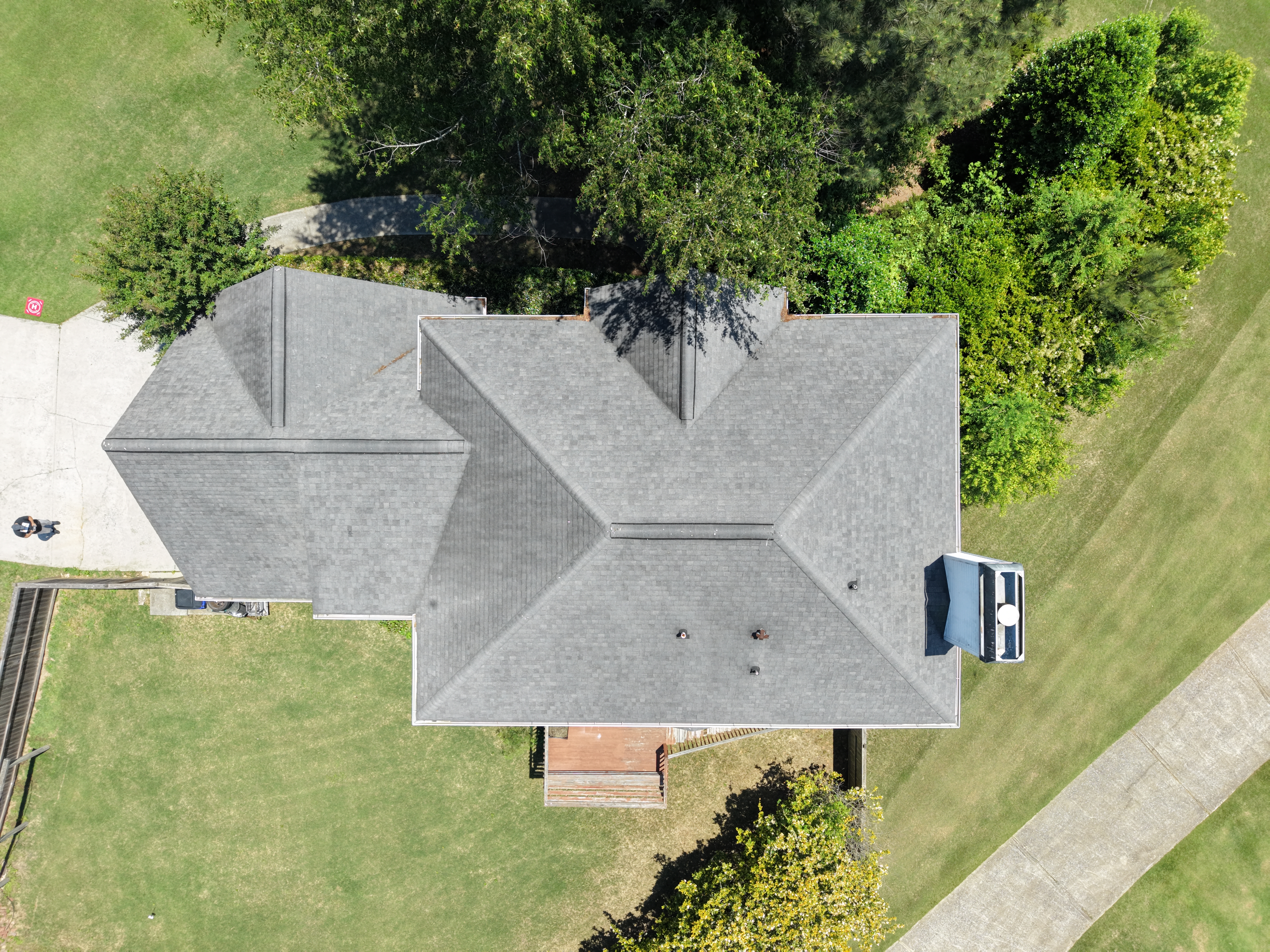
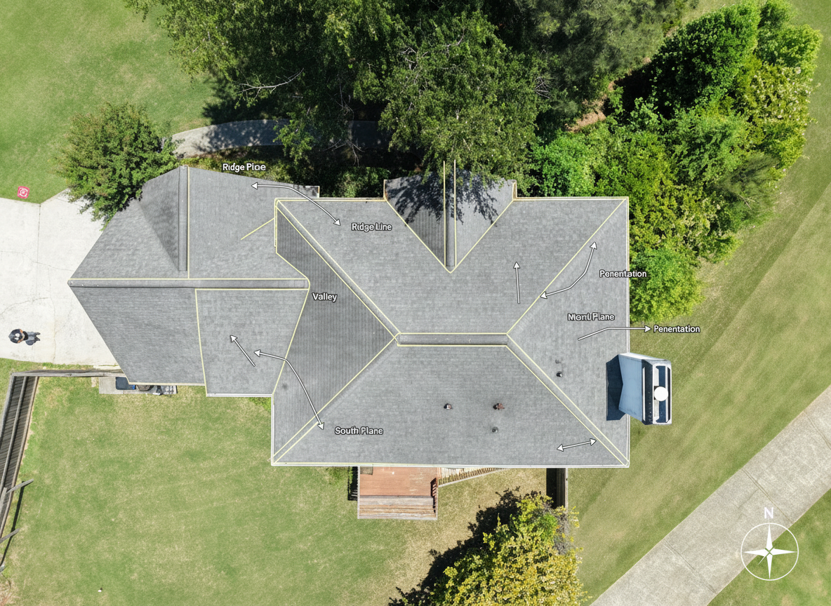
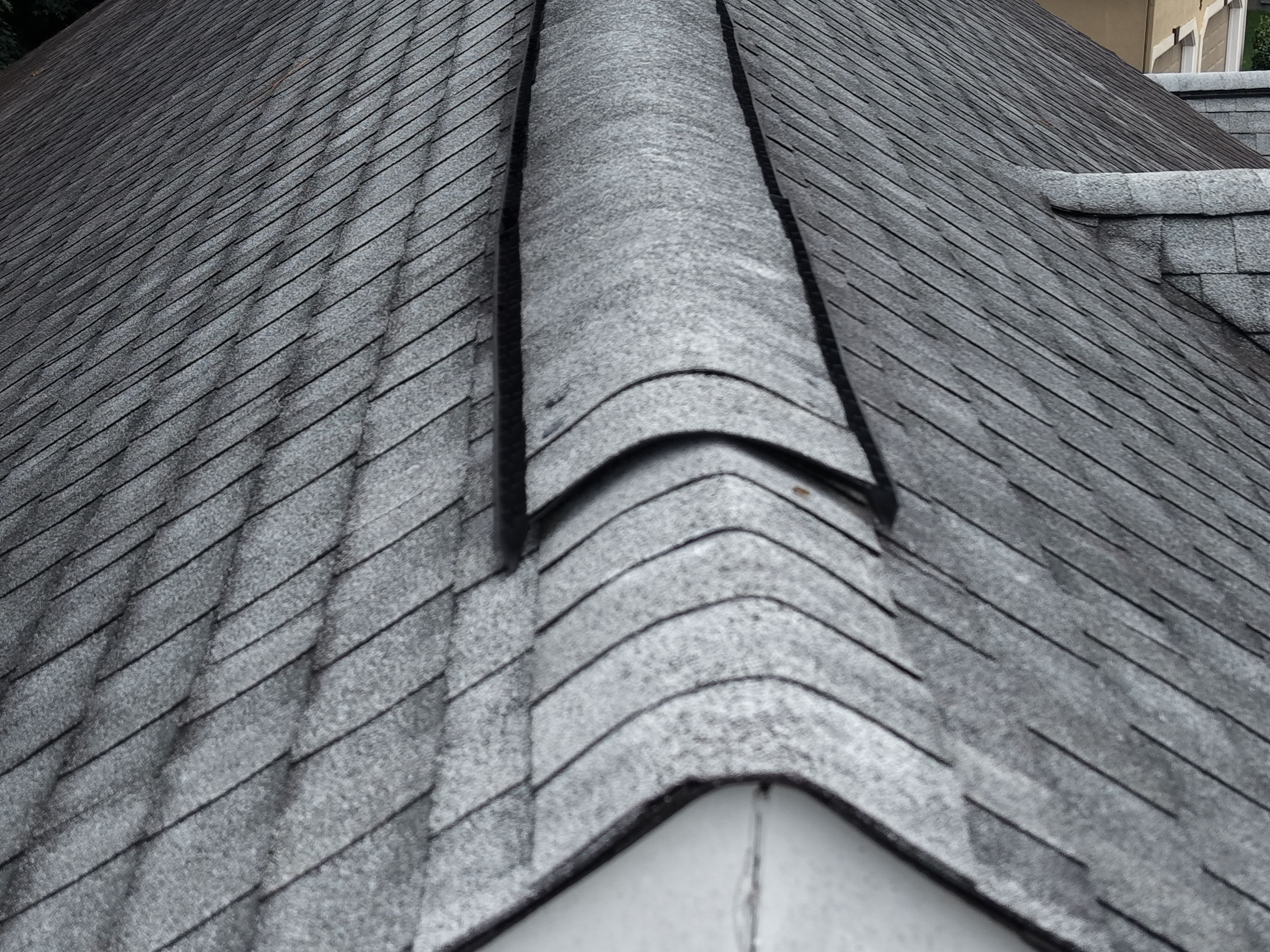
Detailed aerial perspectives that reduce unnecessary elevated-access exposure. Comprehensive documentation for roofs, buildings, and properties.
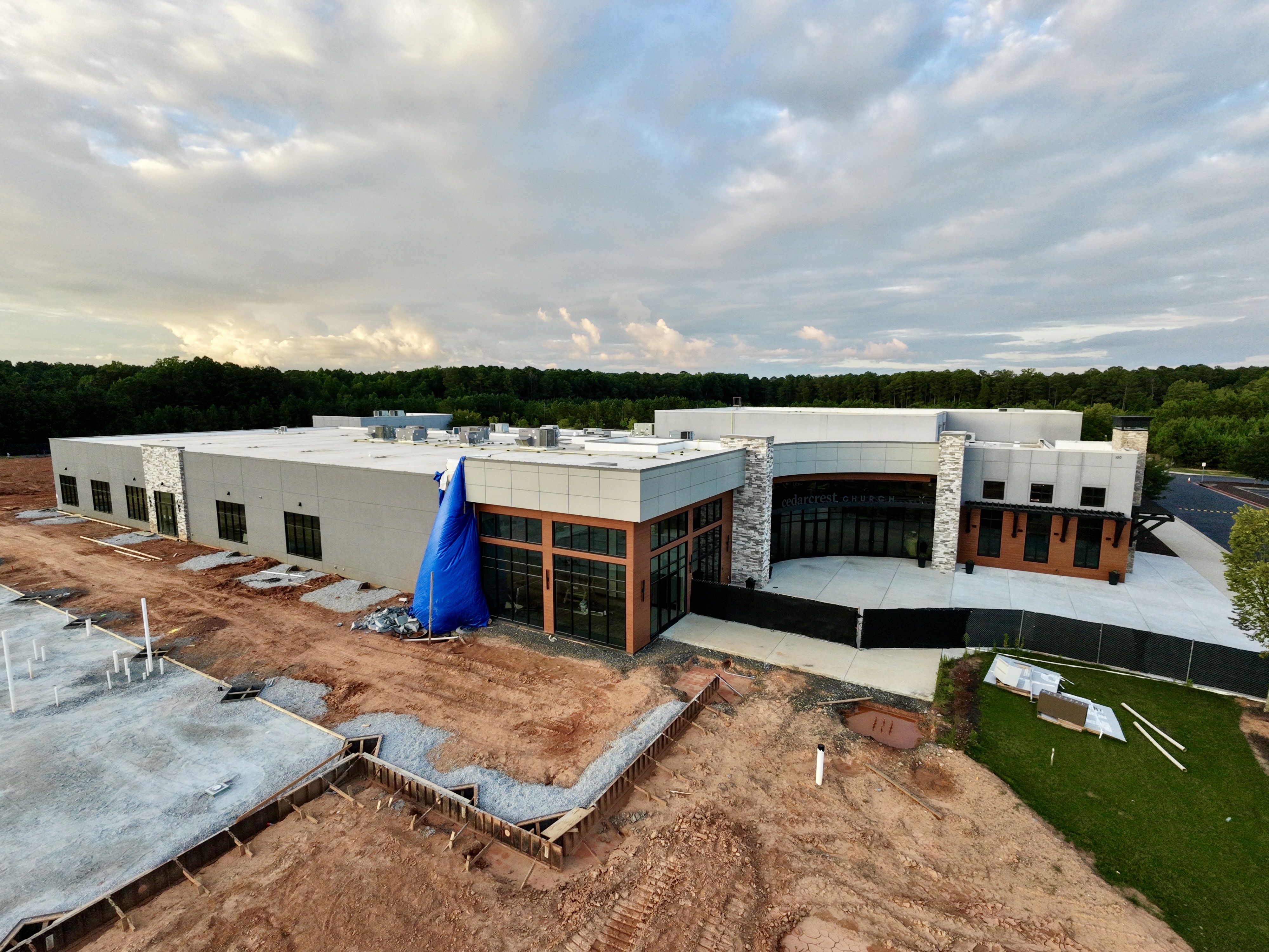
Turn aerial imagery into actionable business information. High-resolution site documentation and repeat-flight monitoring for planning and decisions.
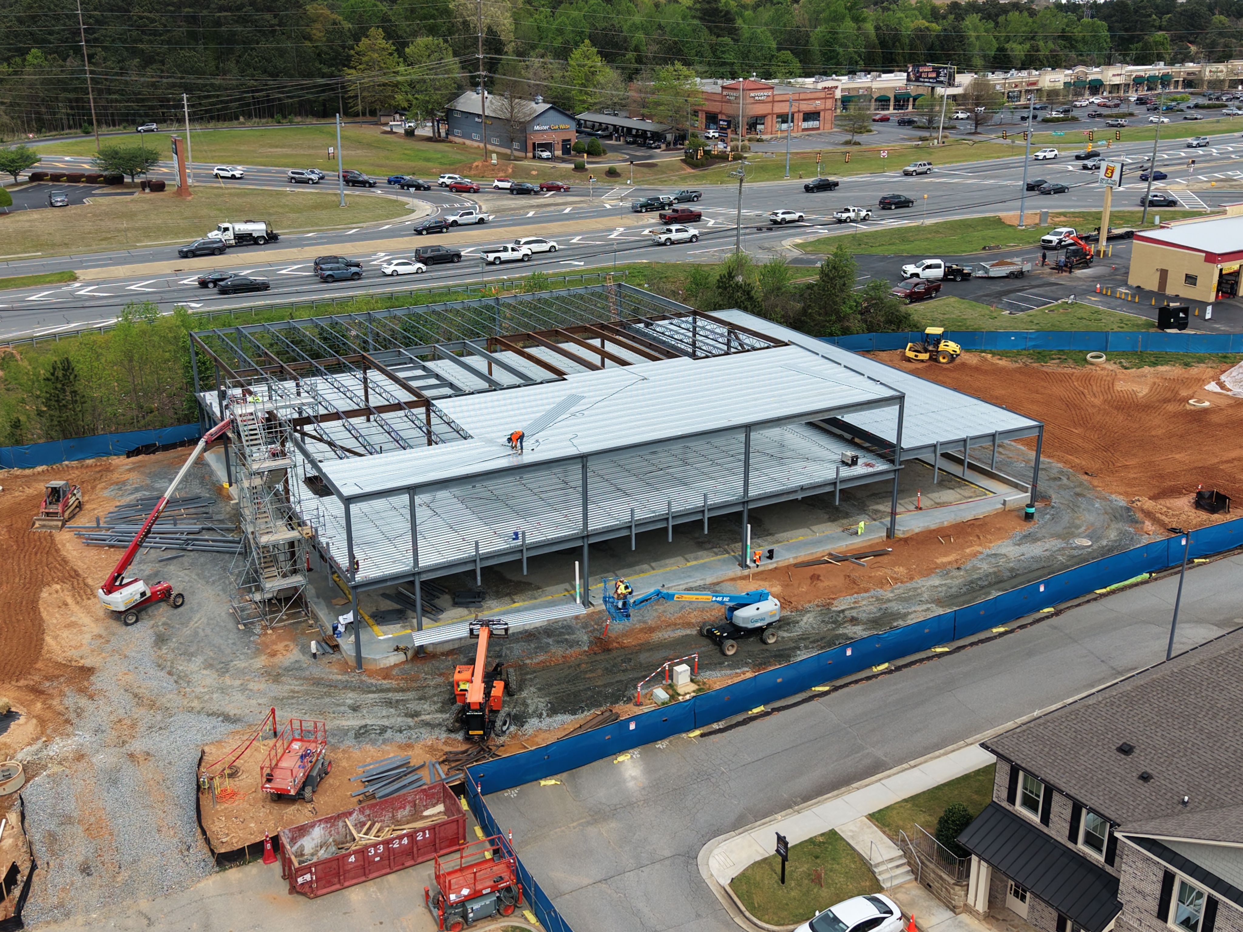
Aerial documentation for construction progress, property management, real estate marketing, and commercial development projects.
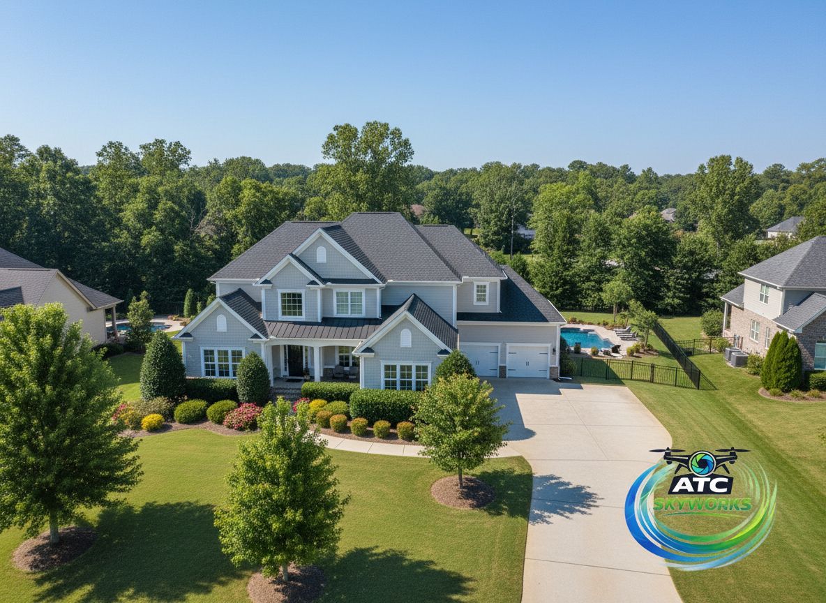
Professional aerial photography, cinematic drone video, and commercial content creation for listings, campaigns, and business promotion.
Why ATC SkyWorks
Safety first. Precision driven. Client focused. Every mission executed with professional standards.
Licensed remote pilots operating under federal aviation regulations.
Pre-flight airspace verification, weather monitoring, and strict safety protocols on every mission.
Professional equipment and workflows that support reliable documentation, repeatable results, and high-quality visual deliverables.
Clear communication, dependable scheduling, and polished deliverables every time.
Every project is tailored to your specific needs, timeline, and business objectives.
Based in Acworth, serving metro Atlanta and surrounding areas within a 50-mile radius.
Industries We Serve
A better perspective for better decisions — across every industry that needs to see more from above.
Aerial documentation for estimates, claims, and jobsite records
Progress monitoring, milestone documentation, and stakeholder updates
Property condition documentation and recurring aerial assessments
Listing imagery, property overviews, and marketing visuals
Site planning perspectives, progress tracking, and completion documentation
Aerial views for claims documentation and property assessments
Building exterior documentation, site overviews, and maintenance records
Promotional aerial content, facility documentation, and commercial imaging
Service Area
Based in Acworth, Georgia, serving metro Atlanta and surrounding areas within a 50-mile radius.
Travel fees may apply for locations beyond our standard service area.
How It Works
Three steps from booking to delivery.
Property address, project type, and timeline. Call, text, or use the quote form.
We verify airspace, check weather, plan the mission, and capture your site from every critical angle.
Edited photos, video, reports, and documentation delivered to your inbox. Many standard projects are delivered within 24–48 hours. Larger or more complex commercial projects are scheduled according to scope and deliverables.
Recent Work
Inspections, construction documentation, commercial imaging, and more.
Ready to see your project from a better perspective?
Tell us what you need. We'll help determine the right aerial solution for your project.